In construction, engineering and many other industries, it’s essential to have a way to validate the accuracy of measuring and surveying data. Even minuscule inaccuracies can lead to flaws, project delays, higher costs and unhappy clients — design errors in construction, for example, can increase costs by around 7%.
Higher Technician

Some of the instruments we use
Total Station

A total station (TS) or total station theodolite (TST) is an electronic/optical instrument used for surveying and building construction. It is an electronic transit theodolite integrated with electronic distance measurement (EDM) to measure both vertical and horizontal angles and the slope distance from the instrument to a particular point, and an on-board computer to collect data and perform triangulation calculations
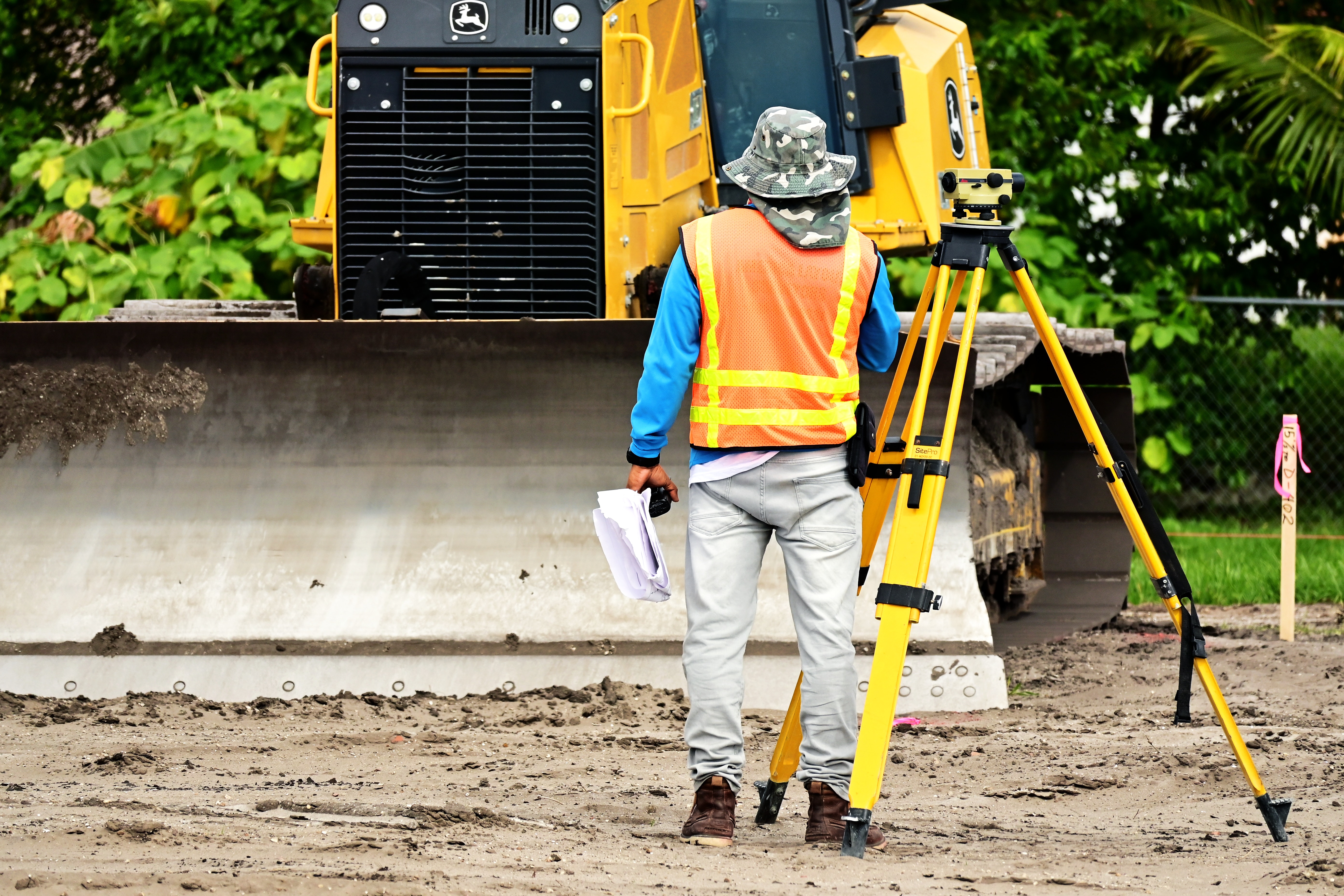
Surveyor's level

Surveyor's level, instrument used in surveying to measure the height of distant points in relation to a bench mark (a point for which the height above sea level is accurately known). It consists of a telescope fitted with a spirit level and, generally, mounted on a tripod.